Existing-utility records are valuable, but they are not a guarantee of what crews will find. Systems may have been rerouted, abandoned, added without complete records, shown at approximate depth, or installed from a different datum. New-design conflicts can also appear when civil, structural, electrical, landscape, and vendor drawings are coordinated late.
The most reliable defense is a layered process: collect records, locate and investigate, compare every discipline, resolve conflicts before excavation where possible, document field decisions, and produce as-built information that future teams can actually use.
Start with a record hierarchy
Gather current survey, utility-owner maps, prior as-builts, record drawings, easements, private-system information, maintenance records, geotechnical reports, and available photographs. Label the source, date, scale, datum, and known limitations. Do not merge approximate and surveyed information without preserving the distinction.
The underground utilities review should also compare proposed water, sewer, storm, power, communications, lighting, irrigation, structure, foundation, and grading information. New conflicts often occur between design disciplines even when the existing-condition survey is accurate.
Locate, mark, and expose based on risk
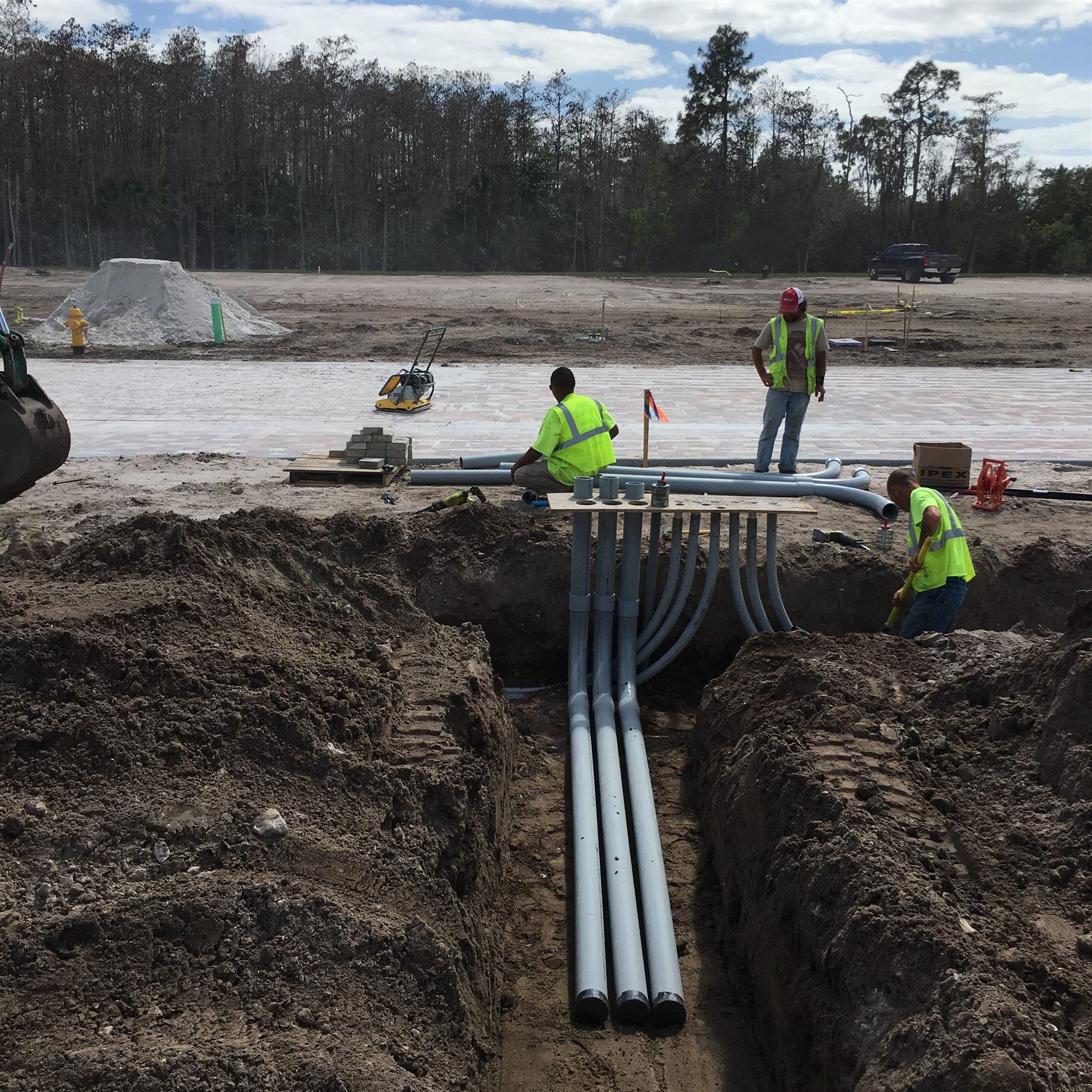
Utility notification and surface locating are essential steps, but the project plan should identify where additional investigation is needed. High-risk points may include tie-ins, crossings, congested corridors, deep excavation, trenchless paths, structure footprints, limited-clearance areas, and locations where a conflict would stop access or service.
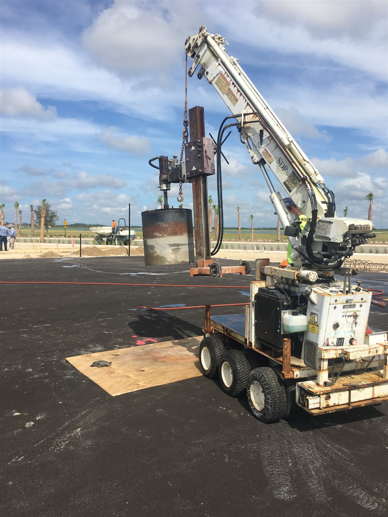
Potholing or vacuum excavation can provide horizontal and vertical information when performed under the project requirements. Record the utility type, material, size, owner, condition if observable, horizontal coordinate, elevation, date, method, and responsible party. Protect and survey the exposure before it is covered.
Investigation has limits. A single exposure does not prove the full alignment or rule out nearby systems. The engineer, utility owner, and project team should determine whether more information is needed.
Resolve conflicts as design decisions
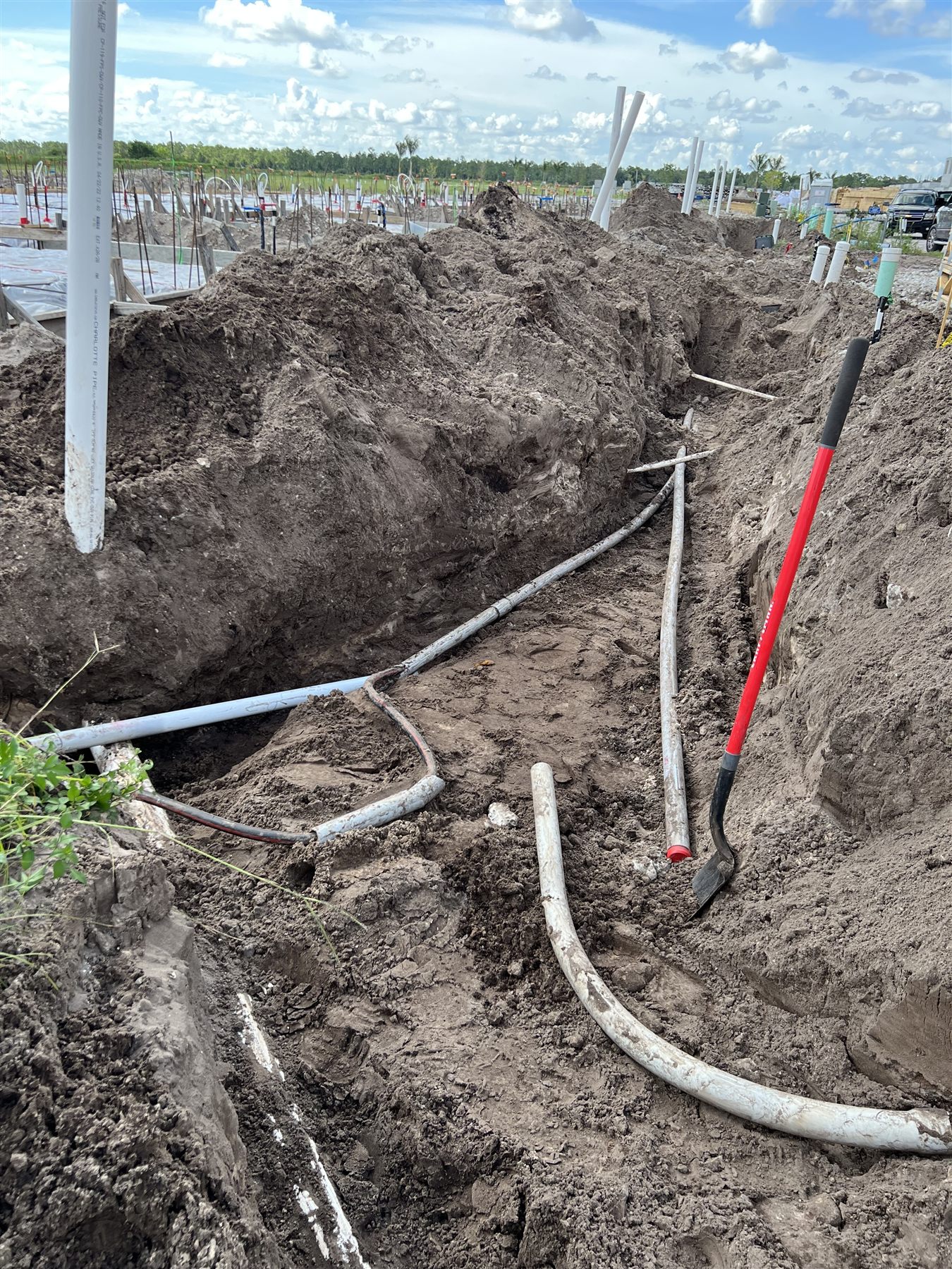
When a conflict appears, avoid field improvisation that creates a second problem. The proposed resolution should consider separation, cover, slope, bend radius, structure access, maintenance, loading, drainage, future connections, and the requirements of each utility owner. The engineer of record and affected parties should approve changes through the project process.
Requests for information are more useful when they include photographs, survey information, marked-up plans, dimensions, proposed options, schedule impact, and the date a decision is needed. This gives the design team a field-ready question instead of a vague report that “utilities conflict.”
On a Lee County corridor project, multiple owners and phased connections can make the decision path as important as the physical crossing. Establish contacts and response expectations before the critical excavation begins.
Keep redlines current enough to guide tomorrow's work
Redlines should be updated during installation, not reconstructed at closeout. Record alignments, elevations, structures, fittings, valves, services, crossings, stub-outs, sleeves, abandoned lines, material changes, and approved deviations. Include enough context to relocate features after grading, paving, or landscaping changes the surface.
Use a consistent coordinate and elevation basis. Identify who captures data, who checks it, where it is stored, how revisions are versioned, and when information moves to the surveyor or engineer preparing final record documents. Photographs are helpful when tied to a location and description; an unorganized camera roll is not an as-built system.
Make as-builts usable for operations and future construction
Final documents should reflect the owner and agency requirements, but usability matters beyond compliance. Operations teams may need valve, manhole, cleanout, control, handhole, connection, and access information. Future designers need reliable alignments, elevations, material, size, and status.
Confirm whether electronic data, CAD, GIS attributes, test records, video, photographs, equipment information, and certifications are required. Review draft record information before the last crew demobilizes so missing data can still be verified.
Track conflict cost and schedule transparently
The contract should define notice, authorization, documentation, and pricing for differing conditions and design changes. Daily reports, survey, photographs, labor and equipment records, material tickets, and written direction may be needed. The field team should understand the process before work begins.
The objective is not to transfer every unknown. It is to create a fair baseline, investigate the highest risks, make timely decisions, and leave better information than the project received.
Facing a congested utility corridor or uncertain record set in the five-county service area? Send Bravo Site Works the survey, utility records, and proposed plans for a project-specific coordination review.