Hurricane Ian reinforced a practical lesson for Southwest Florida development: stormwater performance depends on the entire system and the conditions around it. Finished design criteria matter, but construction sequencing, temporary drainage, inlet protection, grading tolerances, maintenance access, debris, and connections to downstream systems can determine what happens before final acceptance and during future events.
Developers and general contractors should use major storms as prompts for better coordination, not as shortcuts to redesign by anecdote. The engineer of record and permitting authorities remain responsible for the approved design. The construction team adds value by testing constructability, protecting the design intent, and documenting field conditions.
Trace water beyond the project boundary
A storm system does not end at the last structure on the site plan. Review receiving systems, control structures, outfalls, easements, tailwater assumptions, adjacent grades, and any offsite work tied to the project. Confirm which connections exist, which are proposed, and what must be operational for each phase.
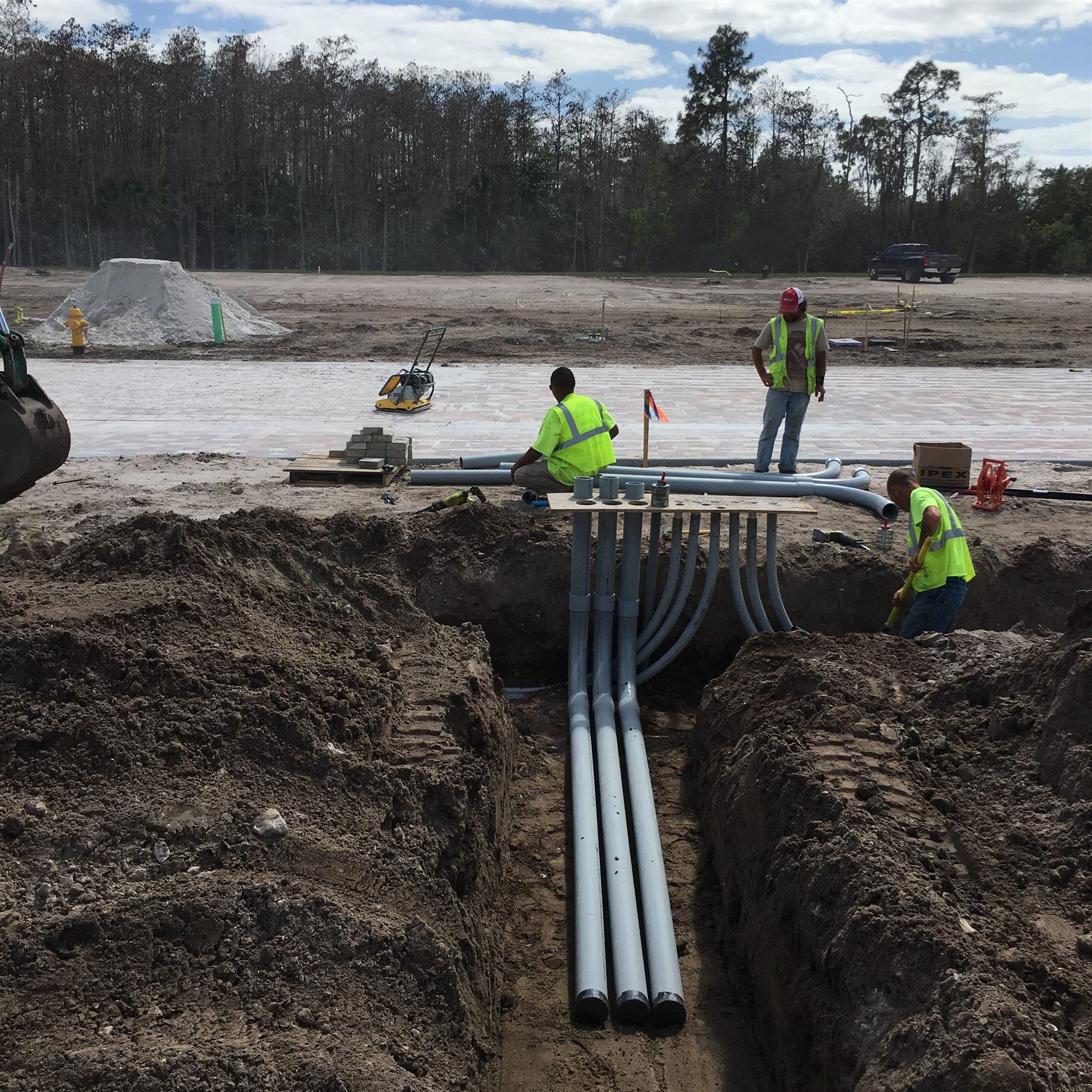
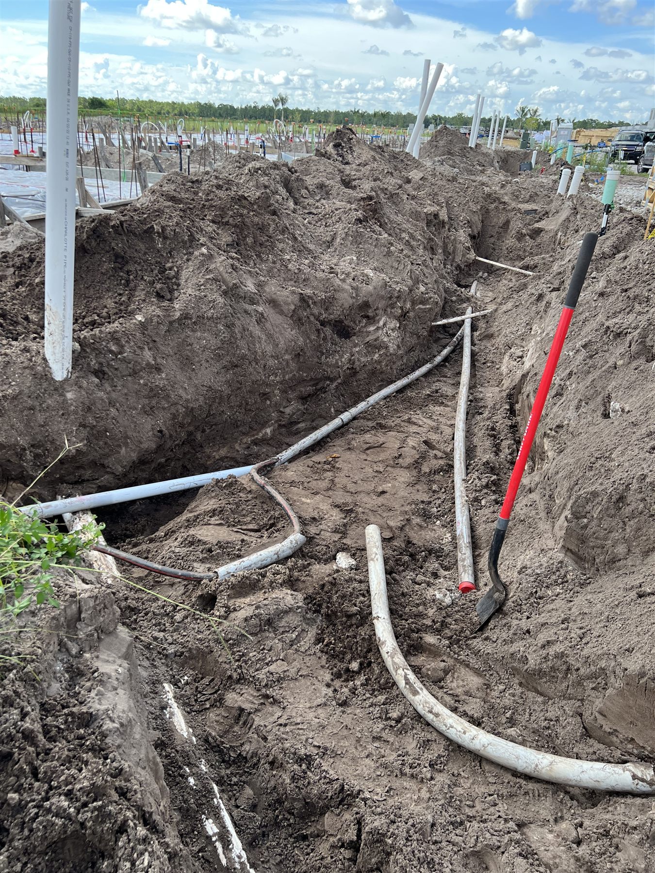
The underground utilities package should compare pipe and structure elevations with grading, paving, landscape, utility, and structural plans. A conflict resolved by moving one inlet or pipe can affect cover, slope, separation, curb, accessible routes, pond grading, or downstream capacity. Changes require engineer review and documentation.
Build temporary drainage into the phase plan
The final storm network may not function while structures, roads, lakes, buildings, and utility crossings are incomplete. Each construction phase needs a temporary condition that directs water without undermining excavation, flooding adjacent work, carrying sediment offsite, or damaging completed systems.
Temporary swales, pumps, stabilized overflow paths, inlet controls, sediment measures, and recovery procedures should align with the environmental plan and current grade. Update them as the site changes. A temporary berm or stockpile that was harmless last month may block a critical route after grading advances.
The phase plan should also explain when permanent structures can receive runoff, who removes construction debris, and how partially completed pipes or inlets are protected. Before a named-storm shutdown, verify the actual field route rather than relying on the future grading model.
Treat elevations and tolerances as connected quality controls
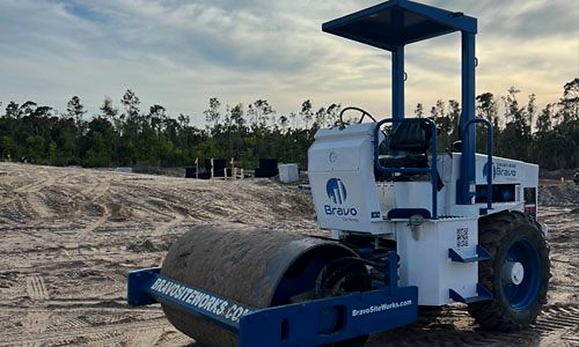
Storm pipe slopes, inlet throats, structure rims, control elevations, swales, curb, pavement, and finish grades work together. Survey control and benchmarks should be protected, and verification points should occur before backfill or finish work hides the relevant condition.
If field conditions require a change, record the decision and confirm the revised relationship to adjacent grades. A small vertical error can create standing water, inadequate cover, a poor pavement transition, or a mismatch with the landscape plan. Redlines should capture structures, pipe, outfalls, and approved revisions while they are accessible.
Design and build for inspection and maintenance access
The system must remain reachable after construction. Review access to inlets, manholes, control structures, ponds, outfalls, and maintenance paths. Landscaping, fences, walls, utilities, parking, and site furnishings can limit access even when the drainage feature itself is installed correctly.
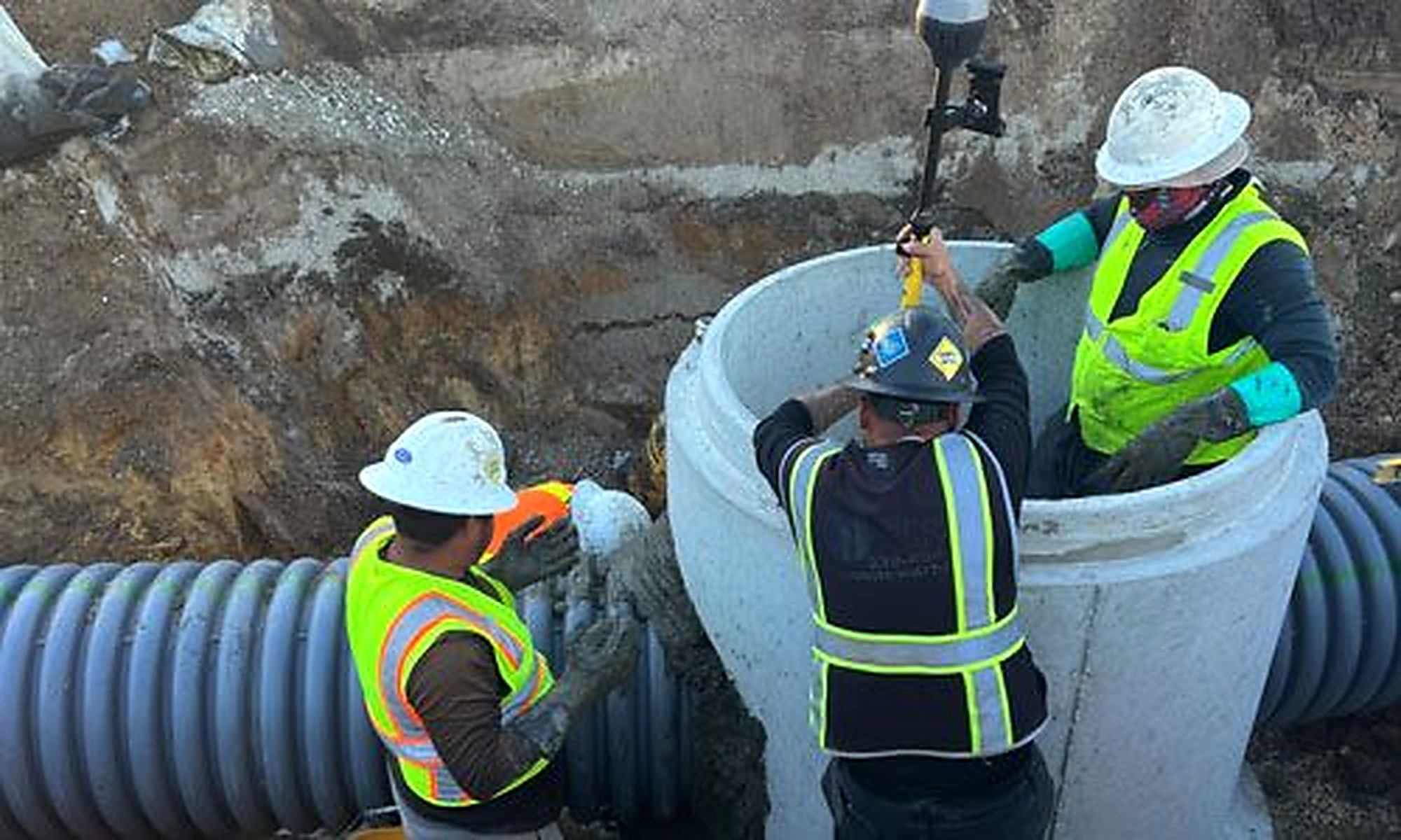
Construction debris and sediment can reduce performance before turnover. Define cleaning, video or inspection where required, grate and structure checks, erosion repair, and removal of temporary controls. Make sure the party responsible for post-construction maintenance receives useful records and can identify critical features.
Coordinate resilience with every civil discipline
Storm resilience is not a drainage-only conversation. Earthwork controls storage and conveyance elevations. Utilities create crossings and potential conflicts. Pavement and curb direct surface flow. Power and controls may affect pump stations. Landscaping can stabilize or obstruct. Emergency access may depend on the same roads that carry or cross drainage systems.
On a Charlotte County project, corridor development, phased communities, and large drainage networks make release-zone planning especially important. The project team should define which portions of the permanent system must be functional before each road, pad, or building area is released.
Ask field questions during design and bidding
Useful questions include: Can the deepest structures be accessed and set? Is groundwater control addressed? Are pipe crossings and cover achievable? Do curb and inlet details match? What drains the site during each phase? Can maintenance equipment reach the final system? Who cleans, inspects, and documents it? What happens if a major storm arrives before completion?
These questions do not replace engineering. They help the construction team preserve the approved design and price the work needed to build it.
Planning storm drainage, grading, or wet utilities within the five counties served? Send Bravo Site Works the current civil plans and phasing schedule for a constructability conversation focused on installation, temporary conditions, and turnover.